
When we think about borders, we usually imagine fences or lines on a map. But for some countries, borders are shaped by waves, ice, and endless horizons. One nation, in particular, stands apart — its sea boundary is so vast that mapping every curve could take a lifetime. This country’s border is shaped by waves rather than barriers, stretching from cold Arctic bays to hazy Atlantic coves and serene Pacific inlets. It links thousands of islands, three powerful oceans, and countless tales of exploration and discovery. Can you guess which nation has the world’s longest sea boundary?
Canada: The Longest Coastline Or Sea Boundary In The World
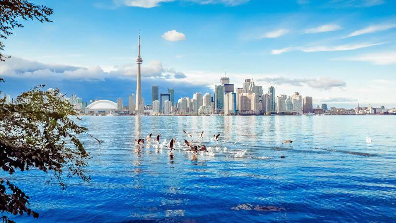
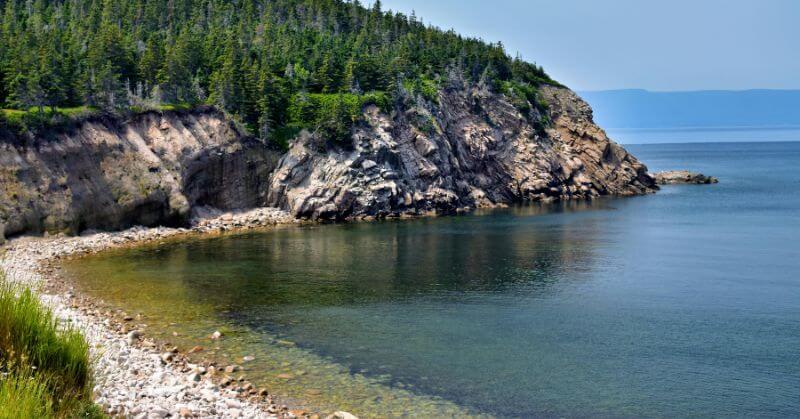
Canada has the world’s longest coastline or sea boundary at an astounding 243,000 kilometers. This vast shoreline, which makes up over 15% of the world’s total coastline, winds through serene Atlantic ports, icy Arctic bays, and striking fjords. British Columbia, Newfoundland and Labrador, and the Canadian Arctic Archipelago are the regions that have contributed most to this breathtaking expanse.
Canada’s shoreline is notable not only for its vastness but also for its intricate details. Every tiny bend, port, and island adds to its total length, making it one of the most geographically complex coastlines on the planet.
Why Measuring A Sea Boundary Is So Complicated
It’s interesting to note that surveying a shoreline is more difficult than it first appears. Geographers often discuss the “coastline paradox,” which explains that a coastline’s length changes depending on how precisely it is measured.
Despite this paradox, Canada is consistently recognized by authoritative sources, such as National Geographic and the CIA World Factbook, as having the world’s longest coastline or sea boundary.
Top Five Countries With The Longest Coastlines Or Sea Boundaries
- Canada – 2,43,000 km
- Norway – 83,000 km
- Indonesia – 54,700 km
- Russia – 37,600 km
- Philippines – 36,300 km
These numbers highlight how island chains, fjords, and irregular landforms dramatically expand a country’s maritime boundary.
Why A Long Coastline Matters

Having an extensive coastline offers major strategic and economic advantages. For Canada, it means access to abundant offshore natural resources, crucial global shipping routes, and some of the world’s most productive fisheries.
It also positions the country as a key player in global marine governance and Arctic navigation — especially as melting ice opens up new trade corridors.
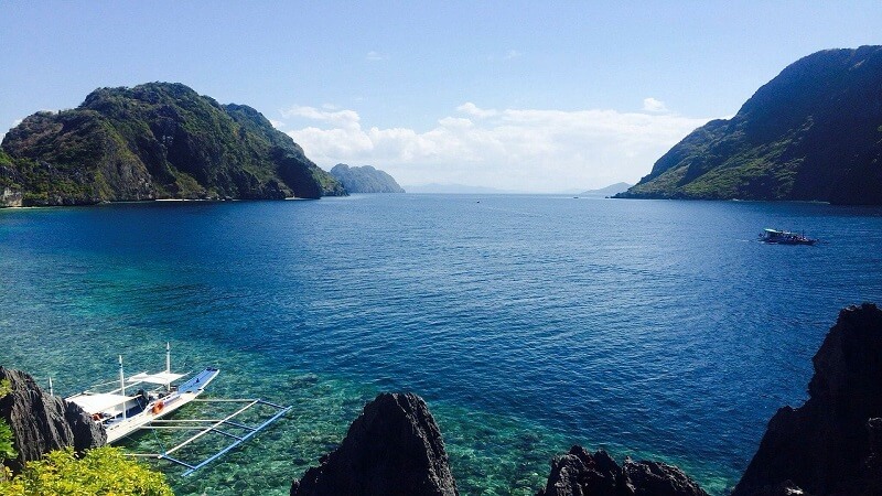
Other nations benefit in their own ways. Norway’s jagged fjords support sustainable fishing and maritime innovation. Indonesia and the Philippines, both archipelagic nations, rely heavily on their coastlines for trade, tourism, and daily livelihoods. Meanwhile, Russia’s Arctic coastline is growing in importance as new northern shipping routes emerge.
With a coastline of roughly 7,516 kilometers, India also plays an important maritime role, linking its ports and coastal economy to international trade networks across the Indian Ocean, Bay of Bengal, and Arabian Sea.
Conclusion
A country’s coastline or sea boundary is more than just a border — it is a gateway to trade, culture, security, and history. Canada’s unmatched shoreline tells a story of exploration, geography, and global influence shaped by three oceans. As climate change and global commerce continue to reshape maritime routes, coastlines like Canada’s will only grow in significance, reminding us that some of the world’s most important borders are written in water, not ink.
Follow Us: Facebook | Instagram | X |
Youtube | Pinterest | Google News |
Entertales is on YouTube; click here to subscribe for the latest videos and updates.


